


Offshore Fish/Dive, 55F New Jersey Coastal

 4.1 (16 items)
 Limited Time Sale
US$23.39 cheaper than the new price!!
Free cash-on-delivery fees for purchases over $99
Product details
| Management number | 221542734 | Release Date | 2026/05/03 | List Price | US$15.60 | Model Number | 221542734 | ||
|---|---|---|---|---|---|---|---|---|---|
| Category | |||||||||
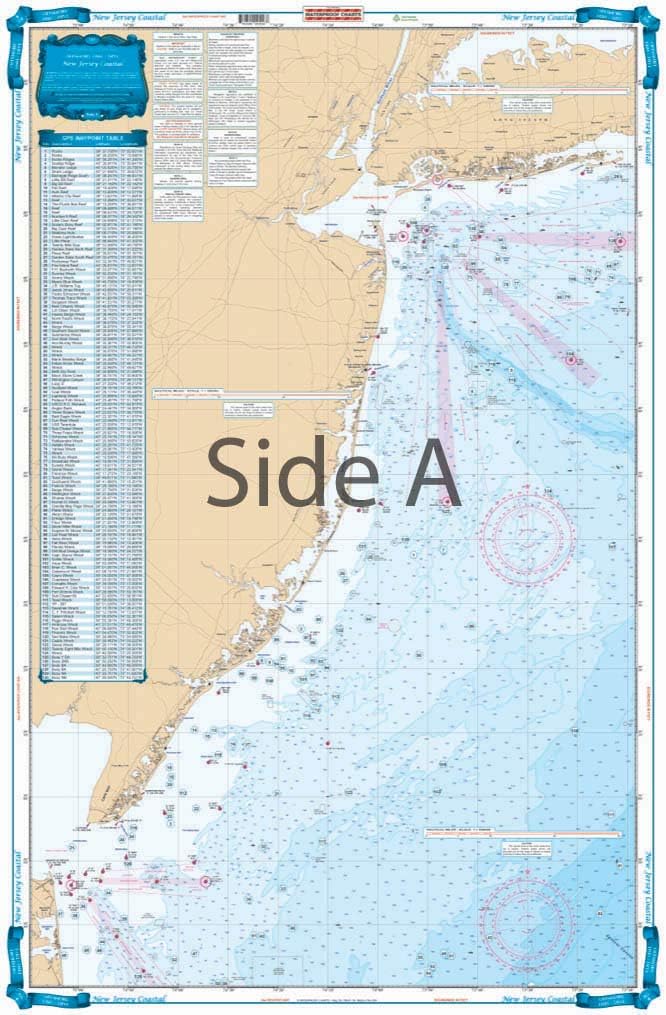
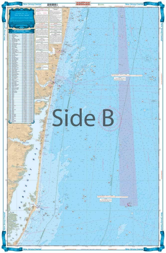
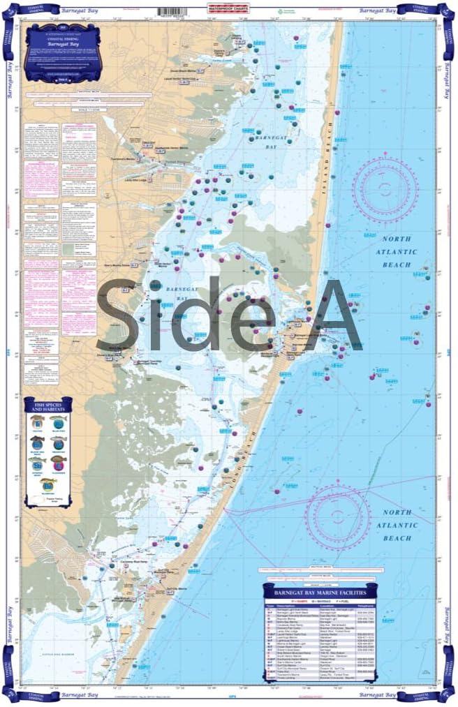
The best chart for fishing or diving off of New Jersey. Side A covers all of Coastal New Jersey from Long Island south to 20 miles south of Cape May. 4 different colors are used to describe water depths. Coverage is offshore to 73 degrees 10 Minutes West Longitude. Side B covers the area from Long Branch south to Barnegat Inlet in better detail (does not cover Barnegat Bay or other insidewaters - for detail inside see chart #56). A total of 244 PLOTTED GPS POSITIONS are given for reefs and wrecks, fish havens, rocks, lights, and buoys. Each waypoint is individually plotted so you can see its position relative to other sites, and inlets. Bright colors and large print make this chart extremely easy to use and read. Information from 4 different NOAA Charts; #12326, #12323, #12200 & #12300. Chart is 25" X 38". WGS84 - World Mercator Datum.
- Two Sided
- Foldable
- Tear Resistant Synthetic Paper (Hop-Syn) 5 PP Tree Friendly
| Material | Polypropylene |
|---|---|
| Brand Name | Waterproof Charts |
| Part Number | 55F |
| Manufacturer | Waterproof Charts |
| Package Weight | 0.06 Kilograms |
| Item Package Dimensions L x W x H | 25.04 x 1.34 x 1.1 inches |
Bestseller ranking
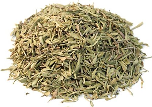
Thyme


Customers who viewed this product also viewed
Charts & Maps


Correction of product information
If you notice any omissions or errors in the product information on this page, please use the correction request form below.
Correction Request Form